🚚 Free Worldwide Shipping on All Orders!Shop Now

1 / 2
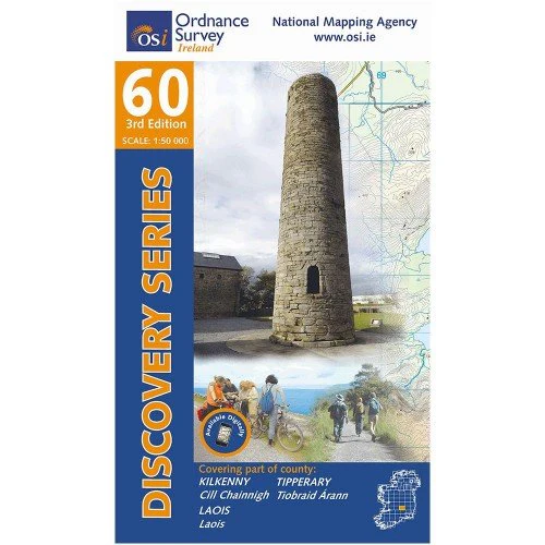
OSI 60 Kilkenny Laois
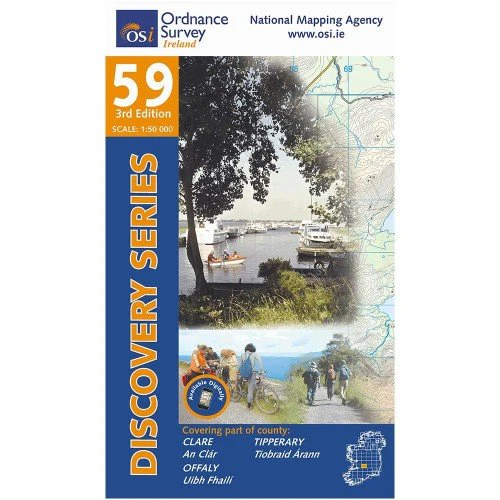
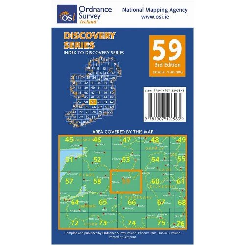
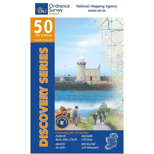
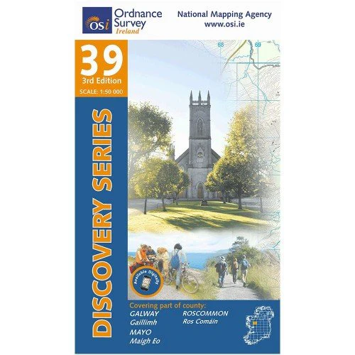
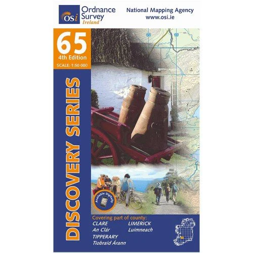
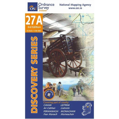
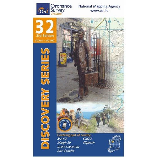
OSI Discovery Sheet No. 60 is a 1:50 000 scale map that covers parts of Kilkenny, Laois, and Tipperary and is intended for a variety of leisure activities such as walking, cycling, and tourism.
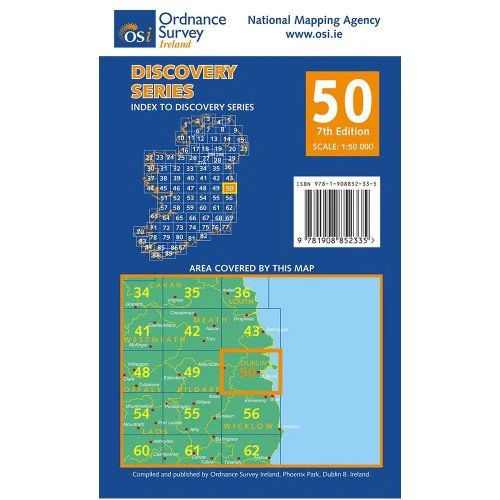
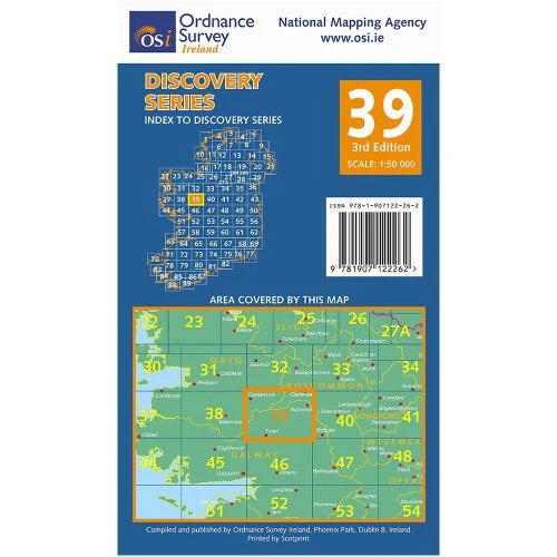
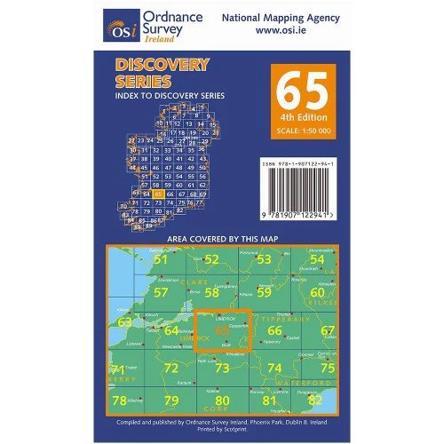
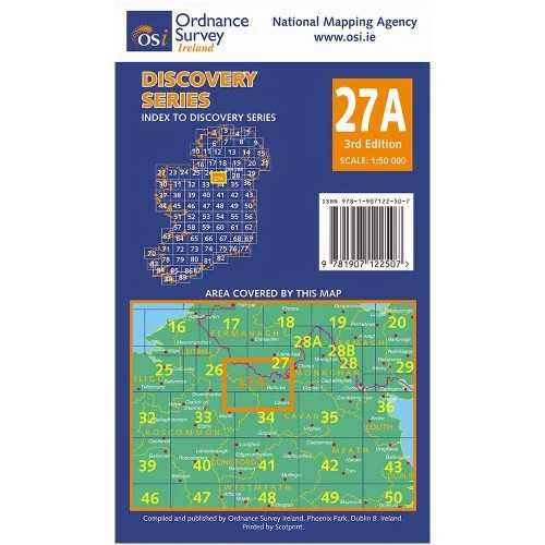
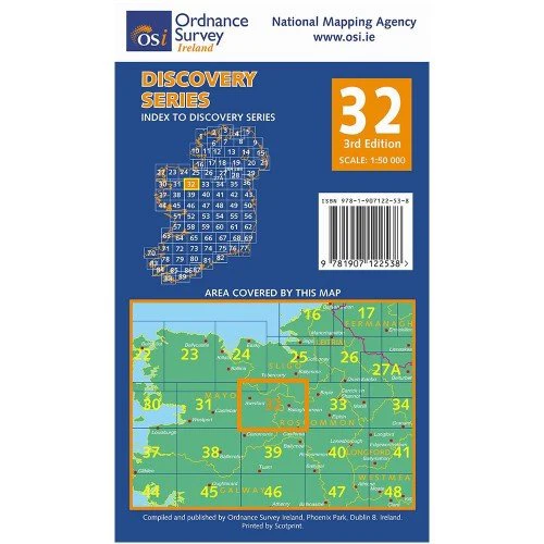
Walking trails, cycle routes, forest parks, and nature reserves are among the features featured on the Discovery series. Camping/caravan parks, youth hostels, tourist information offices, picnic areas, standing stones, battlefields, golf courses, and viewpoints are also available. A folded paper map is also available. The area covered can be seen in the back cover image.
Walking trails, cycle routes, forest parks, and nature reserves are among the features featured on the Discovery series. Camping/caravan parks, youth hostels, tourist information offices, picnic areas, standing stones, battlefields, golf courses, and viewpoints are also available. A folded paper map is also available. The area covered can be seen in the back cover image.
OSI Discovery Sheet No. 60 is a 1:50 000 scale map that covers parts of Kilkenny, Laois, and Tipperary and is intended for a variety of leisure activities such as walking, cycling, and tourism.
Walking trails, cycle routes, forest parks, and nature reserves are among the features featured on the Discovery series. Camping/caravan parks, youth hostels, tourist information offices, picnic areas, standing stones, battlefields, golf courses, and viewpoints are also available. A folded paper map is also available. The area covered can be seen in the back cover image.
Walking trails, cycle routes, forest parks, and nature reserves are among the features featured on the Discovery series. Camping/caravan parks, youth hostels, tourist information offices, picnic areas, standing stones, battlefields, golf courses, and viewpoints are also available. A folded paper map is also available. The area covered can be seen in the back cover image.
$2.03
Original: $5.79
-65%OSI 60 Kilkenny Laois—
$5.79
$2.03Description
OSI Discovery Sheet No. 60 is a 1:50 000 scale map that covers parts of Kilkenny, Laois, and Tipperary and is intended for a variety of leisure activities such as walking, cycling, and tourism.
Walking trails, cycle routes, forest parks, and nature reserves are among the features featured on the Discovery series. Camping/caravan parks, youth hostels, tourist information offices, picnic areas, standing stones, battlefields, golf courses, and viewpoints are also available. A folded paper map is also available. The area covered can be seen in the back cover image.
Walking trails, cycle routes, forest parks, and nature reserves are among the features featured on the Discovery series. Camping/caravan parks, youth hostels, tourist information offices, picnic areas, standing stones, battlefields, golf courses, and viewpoints are also available. A folded paper map is also available. The area covered can be seen in the back cover image.